United Group enables you to manage your project risks by providing you with state-of-the-art data acquisition; geological hazard risk assessment and mitigation. In Arabic and African countries with geotechnical, environmental and climatic complexities we deliver a professional service by combining our in-house geological, geophysical and hydrological surveys capabilities with our experienced professionals.

Capabilities

Our geological and geophysical survey services are available around the world and our specific capabilities include:

  • Review of existing geological data, satellite image and topographic maps.

  • Integration of data sets to create a preliminary, GIS-based geological model.

  • Assessment of potential geological and geomorphologic hazards.

  • Probabilistic fault displacement hazard assessment.

  • Probabilistic and deterministic seismic hazard assessment.

  • Ground motion attenuation equation development.

  • Design ground motion and time history development.

  • Site response analyses (1D, 2D, 3D, linear, linear-equivalent, non-linear).

  • Ore deposits investigation and evaluation.

  • Natural terrain hazard evaluations (landslides, settlement, slope stability).

  • Shallow seismic refraction tomography and MASW survey.

  • Micro tremor and noise background survey.

  • Borehole geophysical logging (cross hole seismic, resistivity, gamma, neutron, .. etc.).

  • Land magnetic and microgravimetric survey.

  • Ground penetrating radar (GPR) and electromagnetic survey techniques.

  • Electric resistivity tomography (ERT) and electric imaging (VES, 2D, and 3D).

  • Self-potential (SP) survey.

Applications

United Group’s geological and geophysical survey services provide value to your project, either alone or as a key component of an integrated site characterization effort to gain insight into subsurface conditions. United Group's conduct the geophysical methods in site investigations to acquire the geotechnical data needed to design foundations of structural facilities for safety and performance. Also, this information helps to understand subsurface conditions and to identify potential geologic hazards that may exist at the site. Local groundwater conditions can also be defined. Investigations for hazards such as fault offsets, landslides, cavernous rocks, ground subsidence, and soil liquefaction are especially important. It also helps to define seismologic and related geologic aspects of the site for determining the behavior of the subsurface materials during earthquakes.

  • Pipelines and other linear projects.

  • LNG terminals, nuclear power plants, and other critical facilities.

  • Tunnels.

  • Dams, levees, and water retention structures.

Benefits

We provide geological and geophysical surveys from our offices around the world and our geologists and geo-scientists are supported by advanced technologies, systems, and state-of-the-art equipment. Our professionals are ready to respond to your complex challenges always maintaining a safe working environment.

  • Clear understanding of your requirements.

  • Global presence with local expertise in most regions.

  • Wide spectrum of services and technologies, delivering the optimal solution from a single contract Help to reduce ground risk, saving both schedule and life cycle cost.
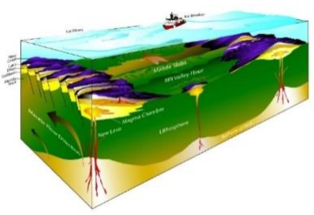
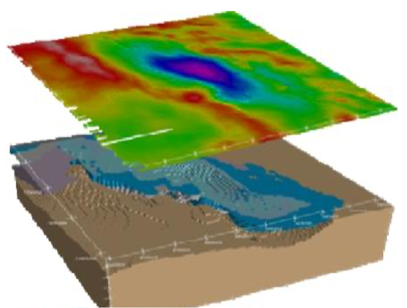
Screen Shots

photo
photo
photo